
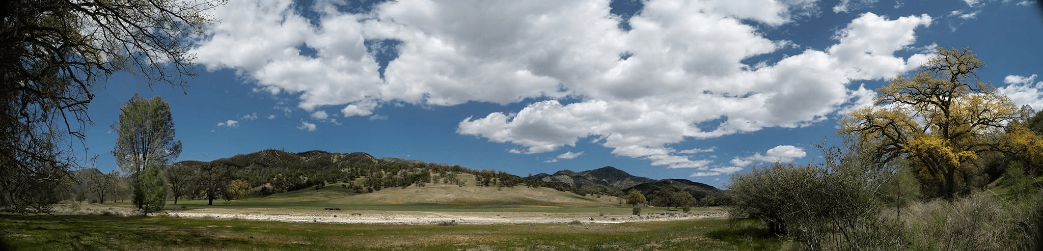
Blooming Oaks along Los Gatos Creek. Murrieta’s route, called La Vereda del Monte (The Mountain Trail), entered Coe Park at San Antonio Valley, where they rustled horses from Isabel Valley, holding them at Mustang Flat, then rounded Mustang Peak and headed south, past the Pinnacles and what is now Hollister There they would have followed the San Benito River up into the badlands. Much of the range crests over 4,000 ft in elevation and the peak at San Benito is 5,200. Joaquin Rocks, at the eastern edge of the range is where Murrieta had his hideout, complete with horse corrals. If you look at some of the maps I’ve posted, you can get an idea of how remote an area this is, even now. One thing that fascinates me about Murrieta is how well he must have known California. https://en.wikipedia.org/wiki/Mustang_Flat

